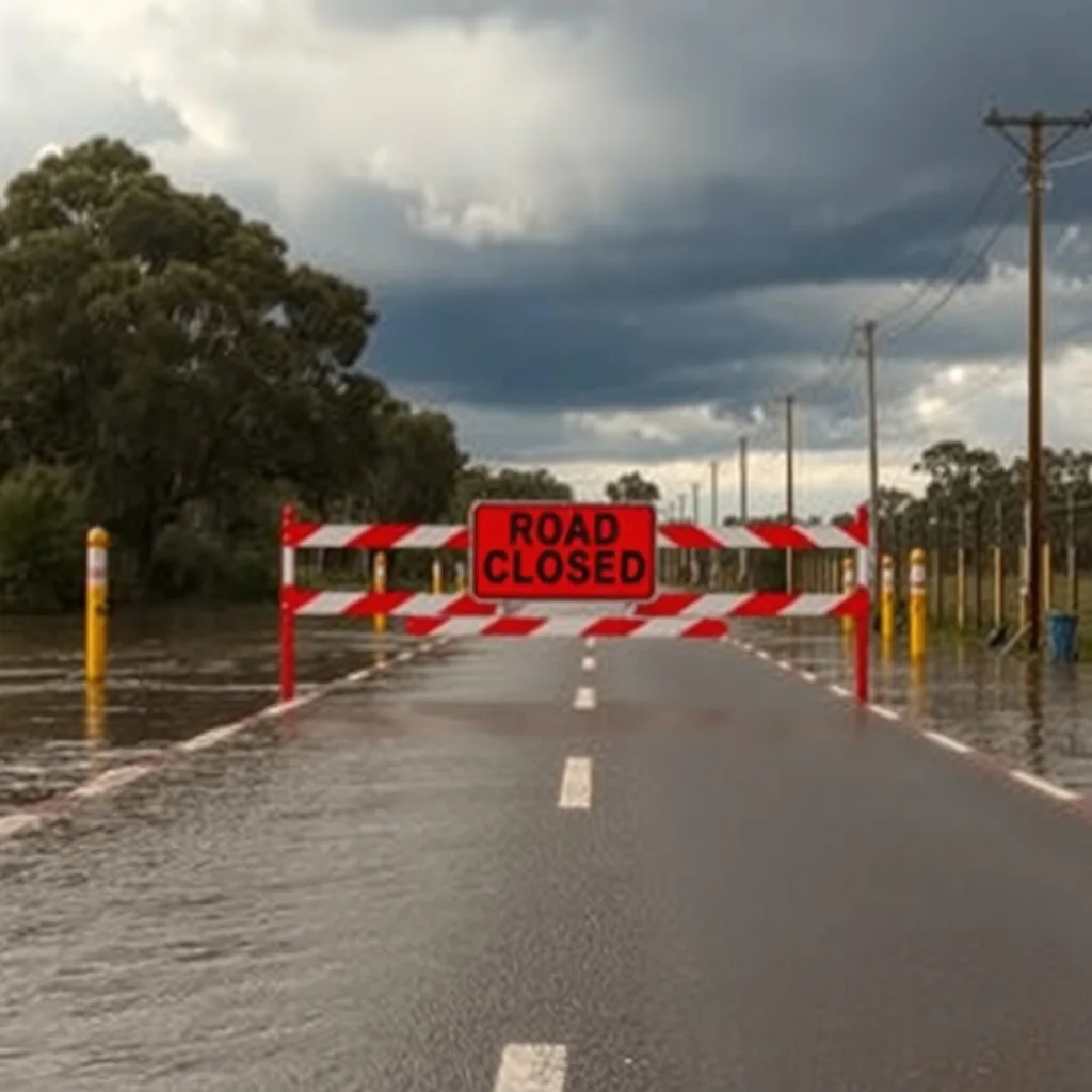

Severe thunderstorm warnings stretched across southern Queensland, western New South Wales, the ACT and eastern Victoria on Sunday afternoon, 25 October, with the Bureau of Meteorology warning of hail, damaging winds, flash flooding and power outages. Eight flood warnings were already in place across southern Queensland after 10 days of rain, and wind gusts of up to 100km/h were recorded in the central west of NSW around midday.
Guardian Australia reported that the bureau also issued a severe thunderstorm warning for Sydney, greater Wollongong and parts of the Blue Mountains, Hawkesbury, Gosford, Wyong, Wollondilly and Wingecarribee areas, after a broad line of storms had already swept through western NSW.
”A big line of storms” from the Snowy to the border
Bureau of Meteorology meteorologist David Crock said the system was far bigger than a typical spring storm day.
“This is a multi-state system of storms and it’s unusually large,” Crock said.
He described a front of cooler air pushing in from the west and dragging tropical moisture down from the north, lighting up central NSW and Canberra through Sunday afternoon.
“We have a big line of storms that’s extending all the way from the Snowy mountains to the Queensland border. Behind that we are watching to see if there’s going to another band developing behind it.”
Ten days of blocked weather over Queensland
The reason southern Queensland copped it for more than a week is a high pressure system that parked itself over the Tasman Sea and refused to move, holding fronts in place and funnelling rain into the state’s south.
“Eventually you get a strong enough system that pushes that blocking pattern away and that typically brings severe weather with it,” Crock said.
The numbers behind that stall are the ones worth writing down. Areas around the Sunshine Coast recorded between 200mm and 400mm of rain in the week to 25 October 2026, Bureau of Meteorology meteorologist David Crock told Guardian Australia, after southern parts of the state saw October rainfall run at “multiple times their average” following a very dry September.

Eight flood warnings covered southern Queensland, with the Mary River downstream of Gympie forecast to hit major flood levels at Tiaro on Sunday evening and into Monday. Crock called the swing from a dry September to a drenched October a weather “whiplash”.
Storm activity was expected to roll on through Sunday night and into Monday across northern NSW and southern Queensland as the cold front kept pushing east.
“[Monday] is the last big bang of this system and that’s going to be a great relief for those people in south-east Queensland,” Crock said.
What it does to a job in progress
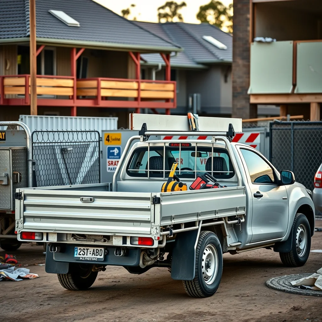
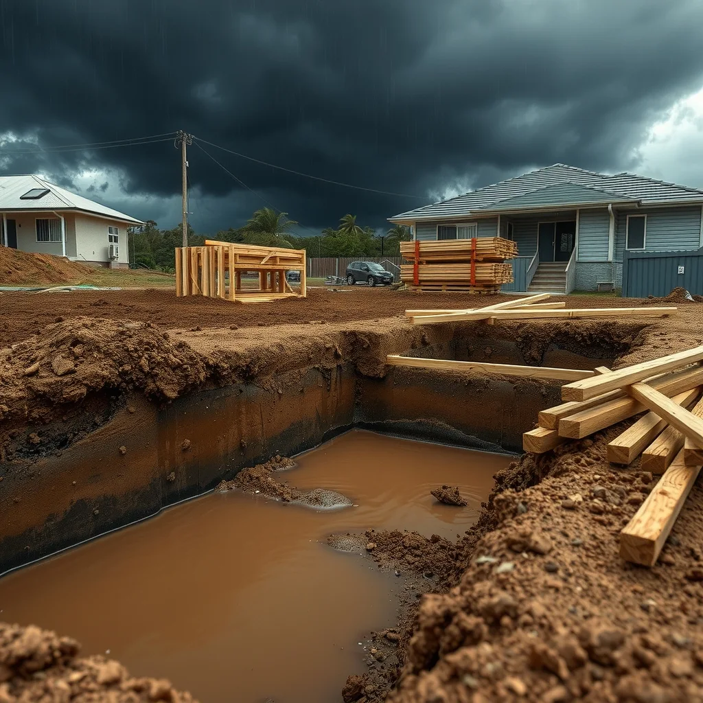
For anyone with a site open between Gympie and the Snowy, this is a week of lost days rather than lost work. Saturated ground is the first problem. Excavations fill, trench walls soften, and anything that was ready for a pour on Monday isn’t going in until the sub-grade dries out and the engineer’s happy with it. Plant gets bogged on access tracks that were fine last Tuesday.
Then there’s the wind. Gusts around 100km/h put scaffold, temporary fencing, shade cloth and anything stacked on a slab edge into play, and crane and elevated work decisions belong to the people with the manufacturer’s data and the site’s own management plan. If you’re unsure where the line sits for lifting and work at height in those conditions, Safe Work Australia and your state regulator are the reference, not a group chat.
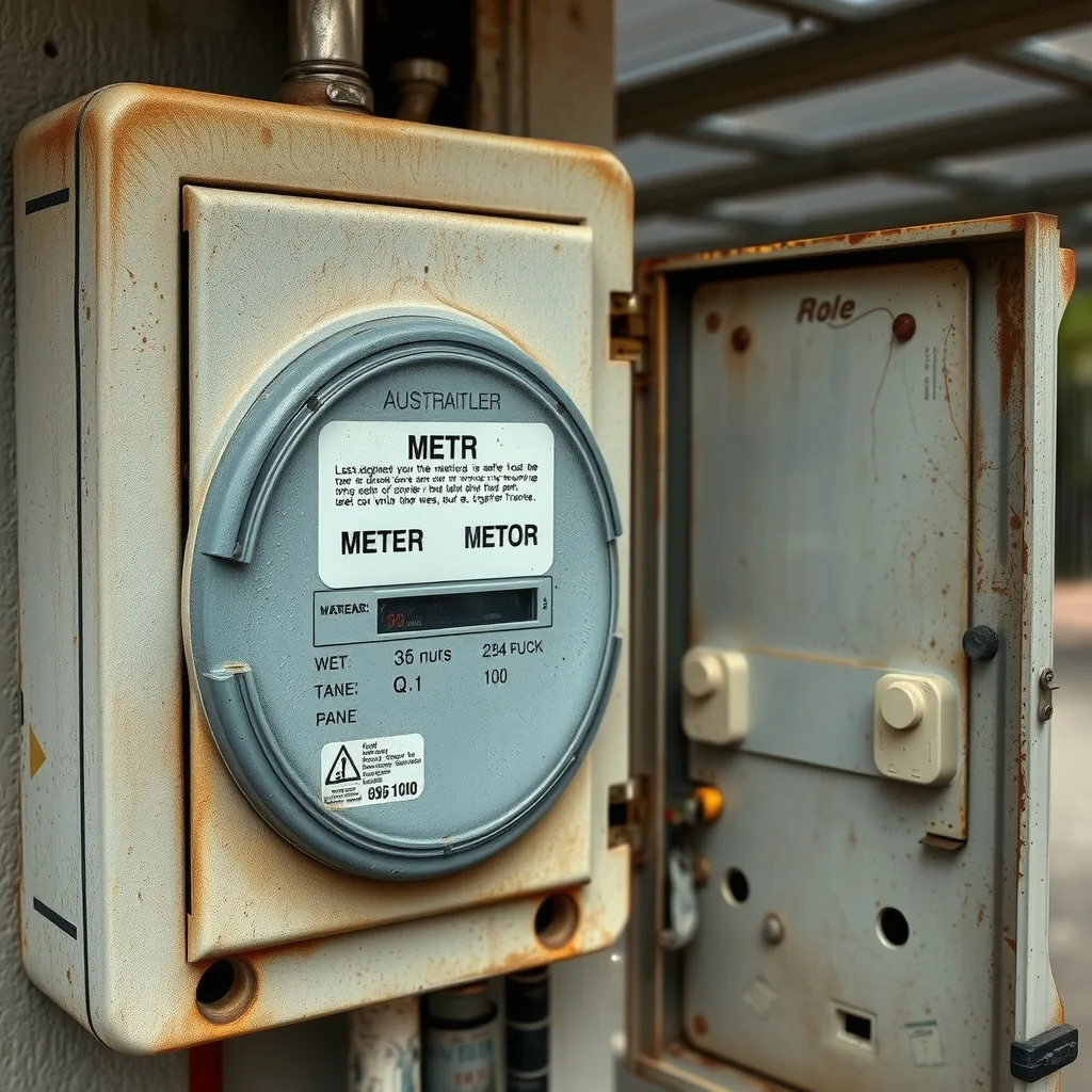
For sparkies, the days after a system like this are the busy ones. Water into a meter box, a roof lifted off a patio, a submerged sub-board on a flooded site shed: all of it is fixed wiring, and fixed wiring is licensed work in every state and territory. Resetting a safety switch is the homeowner’s job. Everything past that is a call to an electrician. If you need one fast, you can get quotes from local electricians. Anything involving a downed line is a call to the network operator first.
Plumbers and roofers will be chasing the same list: blocked stormwater, overflowing gutters, flashings that gave up under 200mm in a week. If you’re quoting storm damage work in south-east Queensland this week, the useful question for the customer is whether the leak is new or whether it’s the same one that showed up on day three of the rain, because the insurer will ask.
What to watch after Monday
The bureau’s long-range outlook for November to January points to above average rainfall over most of the country, with the far north and much of Tasmania the exceptions, and November likely to run warmer than usual across the southern half of the continent, with night-time temperatures well above average. Australia has warmed by about 1.5C since 1910, the bureau’s long-term climate data shows. The current outlooks sit on the Bureau of Meteorology site.
A wetter than usual summer is a scheduling problem more than a demand problem. It’s worth checking what your contract actually says about inclement weather days before you commit to a program over December and January, and worth building the drying time into the pour dates rather than the extension-of-time claim you write afterwards.
In the south-east, coastal showers were expected across Victoria and Tasmania, with snow above 800m in Tasmania. Western Australia stays cool into Monday with showers possible in the south west.
Frequently asked questions
Can I reset my own safety switch after a storm?
Yes, resetting a safety switch is the homeowner’s job. Anything beyond that, such as water in a meter box or a damaged sub-board, is fixed wiring and licensed electrical work.
Who do I call if a power line is down after a storm?
Call the network operator first, before calling an electrician, according to the guidance in this report.
Why did southern Queensland get so much rain before the storms hit?
A high pressure system parked over the Tasman Sea for about 10 days, blocking fronts in place and funnelling rain into southern Queensland, Bureau of Meteorology meteorologist David Crock said.
Sourced from Guardian Australia, Bureau of Meteorology. Original article.