
Queensland is carrying multiple flood warnings after more than a week of heavy rain, with the Mary River at Tiaro, north of Gympie, rising rapidly above the moderate level and possibly heading for major flood level. Gympie Regional Council said the Kidd Bridge into town was likely to close at 5:30pm, and the Bureau of Meteorology has flagged Monday as the peak risk day for severe storms across the state’s south-east.
The rainfall and warnings were reported by ABC News, which also carried a Watch and Act alert for flooding in the Central Highlands around the Theresa Creek Dam catchment.
Parts of the Mary River catchment have had more than 300mm of rain in the past week and some areas of the Sunshine Coast upwards of 400mm, ABC News reported on 25 October 2026.
The Mary is running quicker than Gympie expected
Gympie Regional Council Mayor Glen Hartwig said he was watching the river levels “very closely”.
“We’ve seen the rivers rise a bit quicker than what was expected or anticipated,” he said.
“There’s water over roads everywhere, there’s heavy downpours coming and going.”
Hartwig said the river wasn’t behaving the way the council is used to. “We’re finding that the Mary River predictability is a little bit different to what we normally face,” he said.
“We’re finding that the Mary River predictability is a little bit different to what we normally face.”
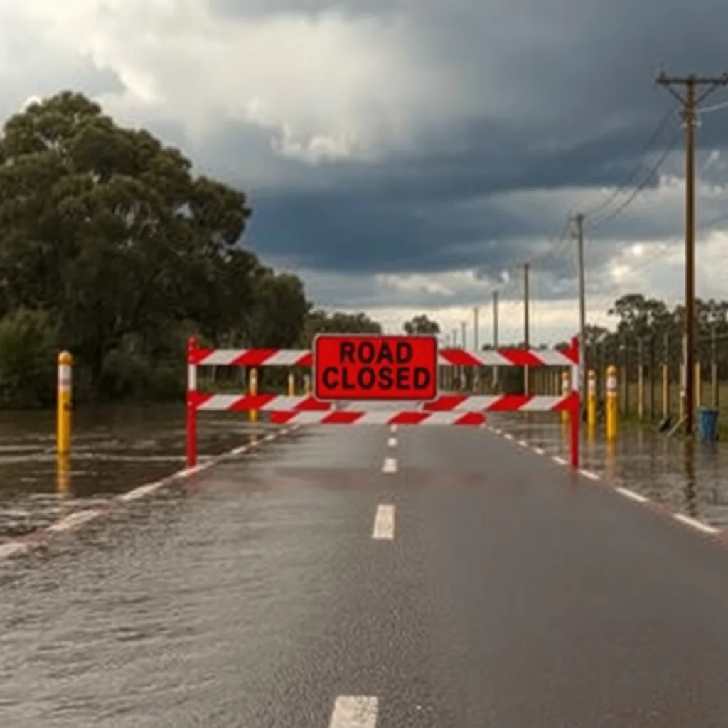
That unpredictability is the practical problem for anyone running crews through the region. Netherby Road at Gundiah on the Fraser Coast went under, and floodwaters closed Gradys Lane at Kin Kin in the Noosa hinterland. A bridge closure in a town like Gympie doesn’t just slow a run, it can put a job on the wrong side of the water from the blokes meant to be on it, and from the next delivery.
Monday is the day to watch in the south-east
Bureau of Meteorology senior forecaster Felim Hanniffy said the severe weather system sitting over inland Queensland will shift south-east by Monday.

“There’s still multiple days of storms and potentially severe storms to come, with Monday probably the peak day in terms of south-east Queensland risk,” he said.
Hanniffy described it as a “trifecta” of large hail, damaging winds and heavy rainfall, and added there was “Even an outside chance of some very dangerous storms around the south-east.”
He also warned the atmosphere is primed for more. “The air is so moist that it wouldn’t take much to generate some localised heavy falls, so that risk continues,” he said, noting some areas have had three times their monthly rainfall in October.
The reprieve, when it comes, is short. “Tuesday looks more benign so we do see a bit of a reprieve … but we may not be fully out of the woods in terms of the severe storm risk until about Thursday,” Hanniffy said.
Clermont ‘starting to settle’ after 157mm in a day
In the Central Highlands, residents around the Theresa Creek Dam catchment copped an Emergency Warning for flash flooding on Saturday that ran into Sunday before being lifted.
Isaac Regional Council Mayor Kelly Vea Vea said the worst looked to have passed. “In the Clermont area, we know that things are starting to settle,” she said.
“Yesterday there was a lot going on after a lot of heavy rain at Theresa Creek Dam. We had 157mm within 24 hours.”
Vea Vea credited residents who rang through what they were seeing upstream, calling it “local intelligence”. “They were on the front foot letting us know what was coming, so that enabled us to also get on the front foot and put out some alerts,” she said.
Moderate flood warnings are also in place for the Warrego River and the Weir River.
What this week looks like on the tools
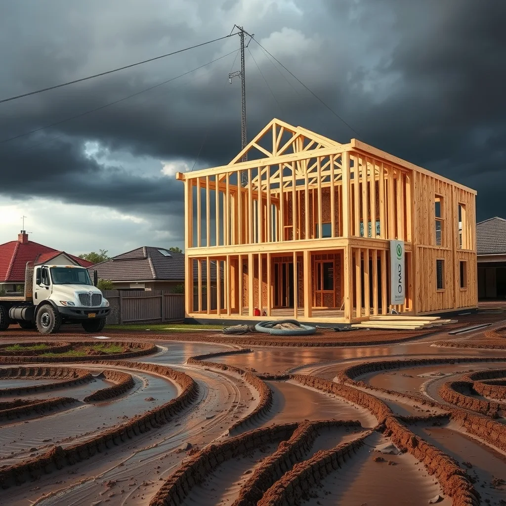
A framed-up house with the roof not yet on is the worst place to be heading into a Monday that the Bureau has tagged for large hail and damaging winds. Wrap tears, open frames take water through the floor system, and anything stacked on site that isn’t strapped becomes a projectile. The job on Monday morning isn’t the job you planned, it’s the walk-around: loose sheet, stacked frames, scaffold, bin lids, site fencing.
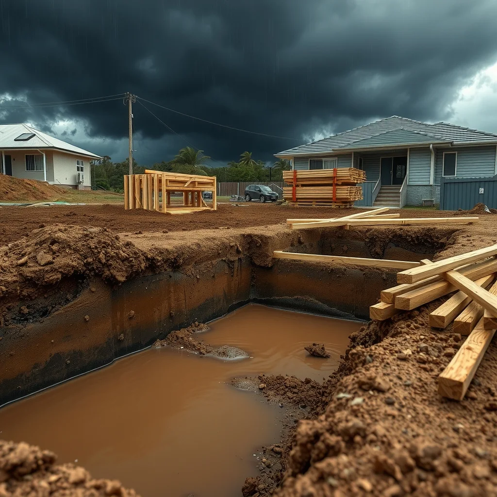
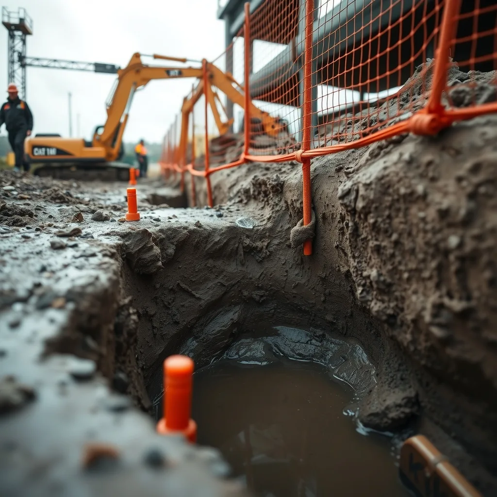
Excavations are the other one. A trench or a batter that’s held up fine through a dry fortnight has had 300mm through it in the Mary catchment, and the ground either side is a different material now than it was when it was dug. Workplace Health and Safety Queensland is the reference point for re-assessing an excavation after heavy rain, not the bloke who dug it on Thursday.
Slabs and pours are the first thing off the program and the last to come back, because the pad has to dry before the pump can get on it. If you’ve got a pour booked for this week in the south-east, the Bureau’s own warning windows are the only call worth making it on. Check the Bureau’s warnings page before you commit a concrete truck to a site you can’t drive out of.
Repair work will follow, as it always does after a Queensland wet, but nobody scopes a flooded house until the water’s down and the insurer’s been through. The realistic read for south-east crews: write off Monday, treat Tuesday as a maybe, and don’t book anything firm until the severe storm risk clears later in the week.
Frequently asked questions
When is the worst day for storms in south-east Queensland this week?
The Bureau of Meteorology says Monday is likely to be the peak day for severe storms in the south-east, with large hail, damaging winds and heavy rain all possible, before conditions ease on Tuesday.
Is the Mary River at major flood level?
Not yet. The Mary River at Tiaro, north of Gympie, has risen rapidly above the moderate level and is heading towards major flood level, Gympie Regional Council says.
What should tradies check on site before severe storms hit?
Secure anything stacked or unstrapped, check open frames and wrap for exposure, and have excavations and trenches reassessed through Workplace Health and Safety Queensland, since ground conditions change fast after heavy rain.
When will the flood and storm risk ease in Queensland?
Bureau forecaster Felim Hanniffy said Tuesday looks more benign, but the region may not be fully clear of severe storm risk until about Thursday.
Sourced from ABC News. Original article.