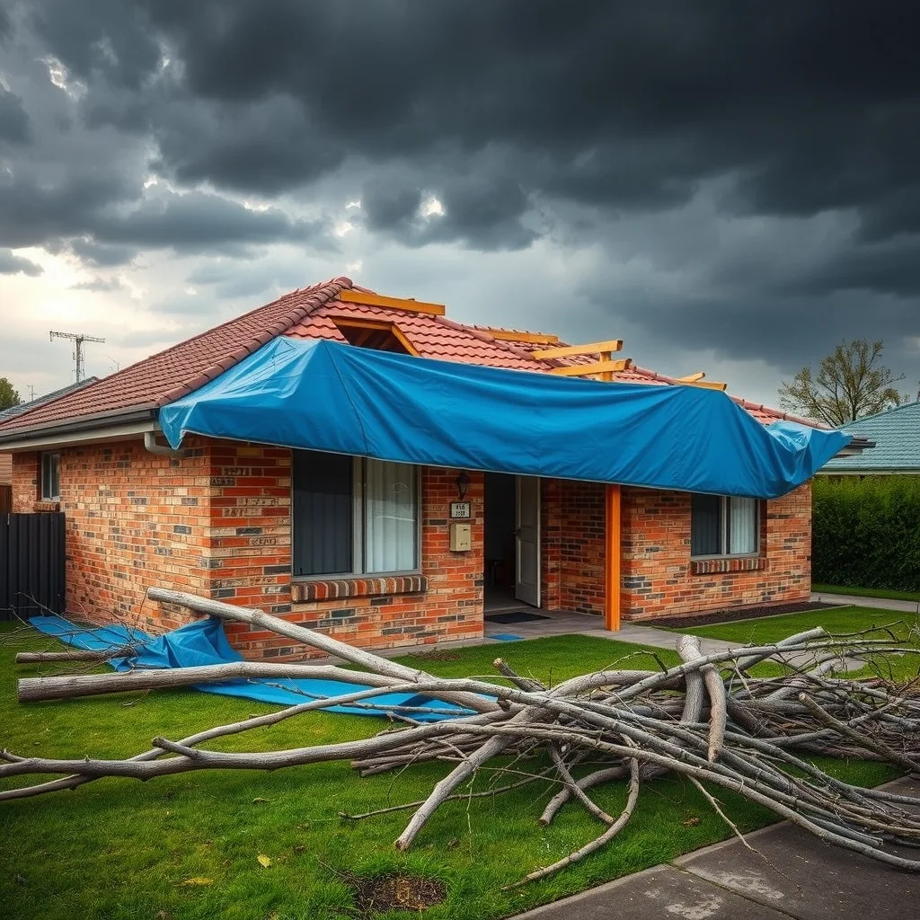

The Bureau of Meteorology has placed most of Victoria under a flood watch, with 24-hour rain totals of up to 90mm forecast for the Otway Ranges and Gippsland and isolated falls up to 150mm possible in elevated country. Severe thunderstorms with damaging winds have also been warned for parts of New South Wales, including the Illawarra, the central west slopes and plains, and the central and southern tablelands.
The warnings were reported by Guardian Australia, which said the flood watch covers Victoria’s north-east, central, south-west and north-west districts as well as parts of Gippsland. The rain is centred on a low pressure system sitting over the Murray River on the NSW-Victorian border.
The ground is already full
More than 100mm had already fallen in parts of the Otways before Saturday afternoon’s rain arrived, according to the Bureau of Meteorology. That’s the number that matters on site, because water has nowhere left to go.
Senior meteorologist Angus Hines said the saturated soils meant fresh rain had nowhere left to go.
“This is on top of the rain you’ve already had in the last few days, so I’ll say it again, the soils are already saturated,”
Hines said the Otways could cop plenty more before the system clears.
“Another 30 to 50mm on top of last night’s deluge could certainly fall there,” he said.
Six-hourly totals of up to 70mm have been forecast, and conditions in the south-west aren’t expected to ease until late Saturday. Gippsland is likely to see 24-hour totals between 50 and 80mm, with isolated falls up to 110mm, easing on Sunday morning.

Only one official flood warning was in place at the time of reporting, for the Bunyip River. Hines said the situation was dynamic and more rivers were likely to rise across the weekend, with further flood warnings highly likely.
Storms through the NSW central west
On the other side of the border, the severe thunderstorm warning named Orange, Goulburn, Dubbo, Nowra, Bowral and Bathurst among the locations that may be affected. Bursts of heavy rain, damaging winds and storms are all in the mix as the band sweeps the southern states.
The whole system is expected to clear by the end of the weekend.
What saturated ground does to a job
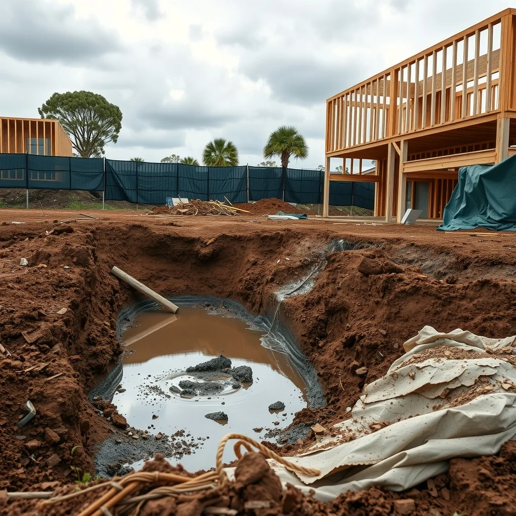
Soil that’s already at capacity changes the job before anyone turns a key on Monday. Water sits in open excavations instead of soaking away. Batters that held fine through a dry September start to slump. Plant bogs on the haul road, and the first truck through churns a track that takes days to dry out.
It’s the sequencing that hurts most. A pour that slips off Monday doesn’t just move to Tuesday, it moves behind whatever the concrete subbie already had booked for Tuesday, and the formwork crew, the steel fixer and everyone following them wear the shuffle. Roofers and external trades lose the day outright. Anyone with frames standing and no roof on is tarping and weighting them down before knock-off, and anyone with plasterboard or sheet flooring stacked on a slab wants it up off the deck and covered.
Temporary works are the other one. Scaffold, site fencing, shade structures and anything tall and flat in a damaging wind warning area need a look before the weather arrives, not after. Both WorkSafe Victoria and SafeWork NSW publish guidance on severe weather and site hazards, and they’re the call to make on what has to be inspected, shut down or re-certified before work restarts. Don’t guess that one off a group chat.
What to watch
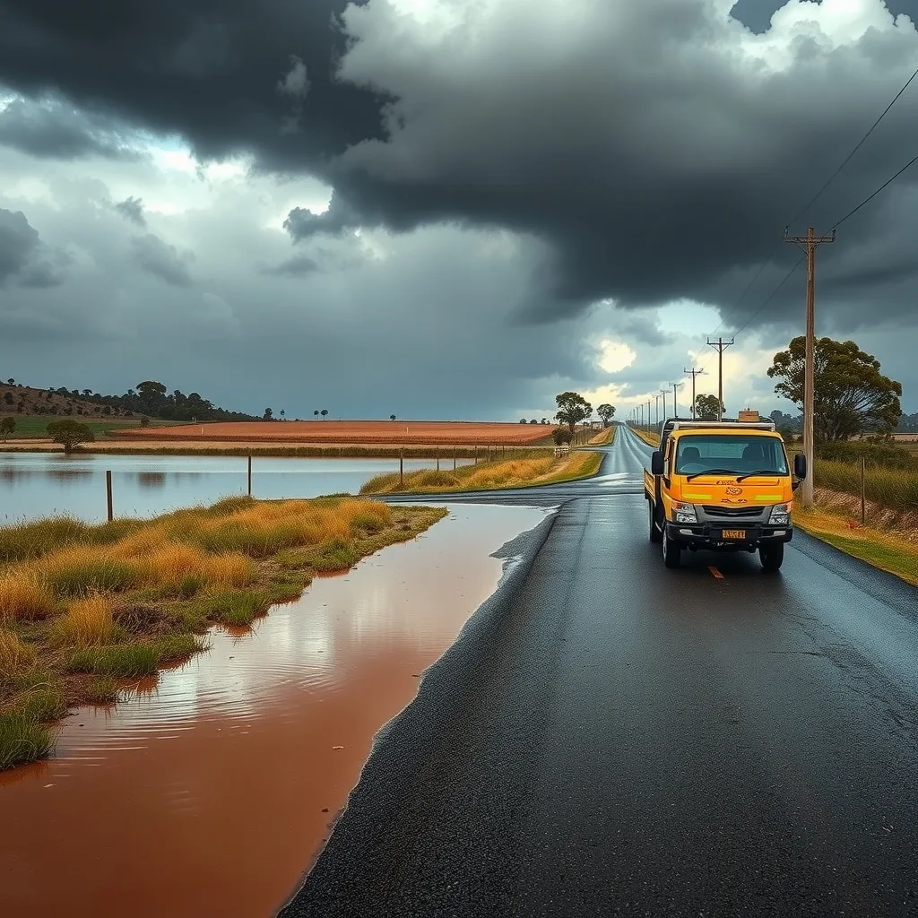
Flood watches aren’t flood warnings. A watch says catchments are primed and the rain is coming; a warning says a specific river is rising. With one river warning already active and the Bureau flagging more, the practical move for anyone with a site near a creek line in the Otways, Gippsland or along the Murray is to check the Bureau’s warnings page and the SES advice for their council area before heading out, rather than finding the access road under water at 6.30am.
If the system clears as forecast by Sunday night, the back half of next week is when the real cost shows up: dewatering, re-compaction, a yard full of bogged gear, and a program that’s lost three days nobody budgeted for.
Frequently asked questions
What’s the difference between a flood watch and a flood warning?
A flood watch means catchments are saturated and heavy rain is coming, while a flood warning means a specific river is already rising. Only one official flood warning, for the Bunyip River, was active at the time of reporting.
Which parts of Victoria are covered by the flood watch?
The flood watch covers Victoria’s north-east, central, south-west and north-west districts, as well as parts of Gippsland, according to Guardian Australia.
What should tradies do before the storms hit?
Tarp and weight down exposed frames and stacked materials, get plasterboard and sheet flooring up off wet slabs, and check scaffold, site fencing and shade structures against WorkSafe Victoria or SafeWork NSW guidance before the weather arrives.
Sourced from Guardian Australia, Bureau of Meteorology. Original article.