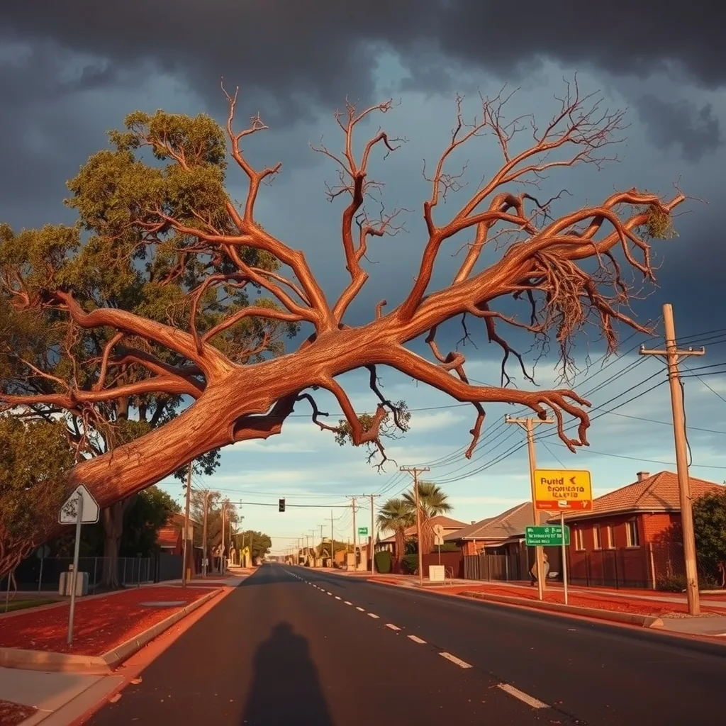

Perth and WA’s South West are cleaning up after a powerful cold front swept through overnight Friday, damaging roofs, tearing off a garden shed, and dropping trees across the metropolitan area. With another cold front due Tuesday, any repair work done this weekend will face a second test.
ABC News reported that the Department of Fire and Emergency Services (DFES) received 26 calls for help across the Perth metro and South West, mainly for water ingress, roof damage and fallen trees. State Emergency Service (SES) crews worked through the night repairing a home in Lesmurdie after a tree came down on the roof. A garage ceiling was also damaged in Dianella, and the roof of a garden shed in Meadow Springs, near Mandurah, was torn off and landed on a side fence.
The wind gusts were significant. Cape Leeuwin topped the lot at 109 km/h shortly after 2am. Rottnest Island hit 93 km/h just after 6am, and Mandurah recorded 89 km/h. Rainfall totals told a similar story: Newlands, east of Donnybrook, received 53mm in the 24 hours to 9am Saturday; Glen Eagle near Jarrahdale got 33mm; Bickley in the Perth Hills recorded 22mm; and the broader Perth metro area received 15mm across the same period.
Bureau of Meteorology duty forecaster Luke Huntington said conditions would ease through Saturday but the week ahead remains wet. “We’ll still see some gusty showers, but the wind gusts are going to be much less,” he said. The BOM West Perth forecast shows showers continuing through to Wednesday, with up to 15mm expected Sunday and similar again Monday. Tuesday brings the next cold front, with a possible morning storm and up to 25mm forecast.
For roofers, arborists and waterproofing contractors, the timing matters. Any emergency tarping or temporary fix completed over the weekend will face another test when that Tuesday front arrives. DFES advises that South West WA typically gets four to six cold fronts per month through the cool season, with one to two classed as severe, meaning sustained demand for storm-repair trades is the norm from April through October.
SES callouts during storm events are triaged to the most urgent cases first, with non-urgent jobs directed to insurance providers. That flow of assessor referrals is likely to keep trade diaries busy well into next week, particularly given Perth’s winter monthly average of 125 to 170mm and soils already saturated from Friday night’s downpour.
Frequently asked questions
How many emergency callouts did the Perth storm generate?
DFES received 26 calls for help across the Perth metro area and the South West, mainly for water ingress, roof damage and fallen trees.
What were the strongest wind gusts recorded during the Perth cold front?
Cape Leeuwin recorded the highest gust at 109 km/h shortly after 2am, followed by Rottnest Island at 93 km/h and Mandurah at 89 km/h.
When is the next cold front expected to hit Perth?
Bureau of Meteorology forecaster Luke Huntington says another cold front is due on Tuesday, with a possible morning storm and up to 25mm of rain forecast.
How many cold fronts does WA’s South West typically get in winter?
DFES advises that South West WA typically sees four to six cold fronts per month through the cool season, with one to two classed as severe.
Sourced from ABC News, Bureau of Meteorology, DFES. Original article.