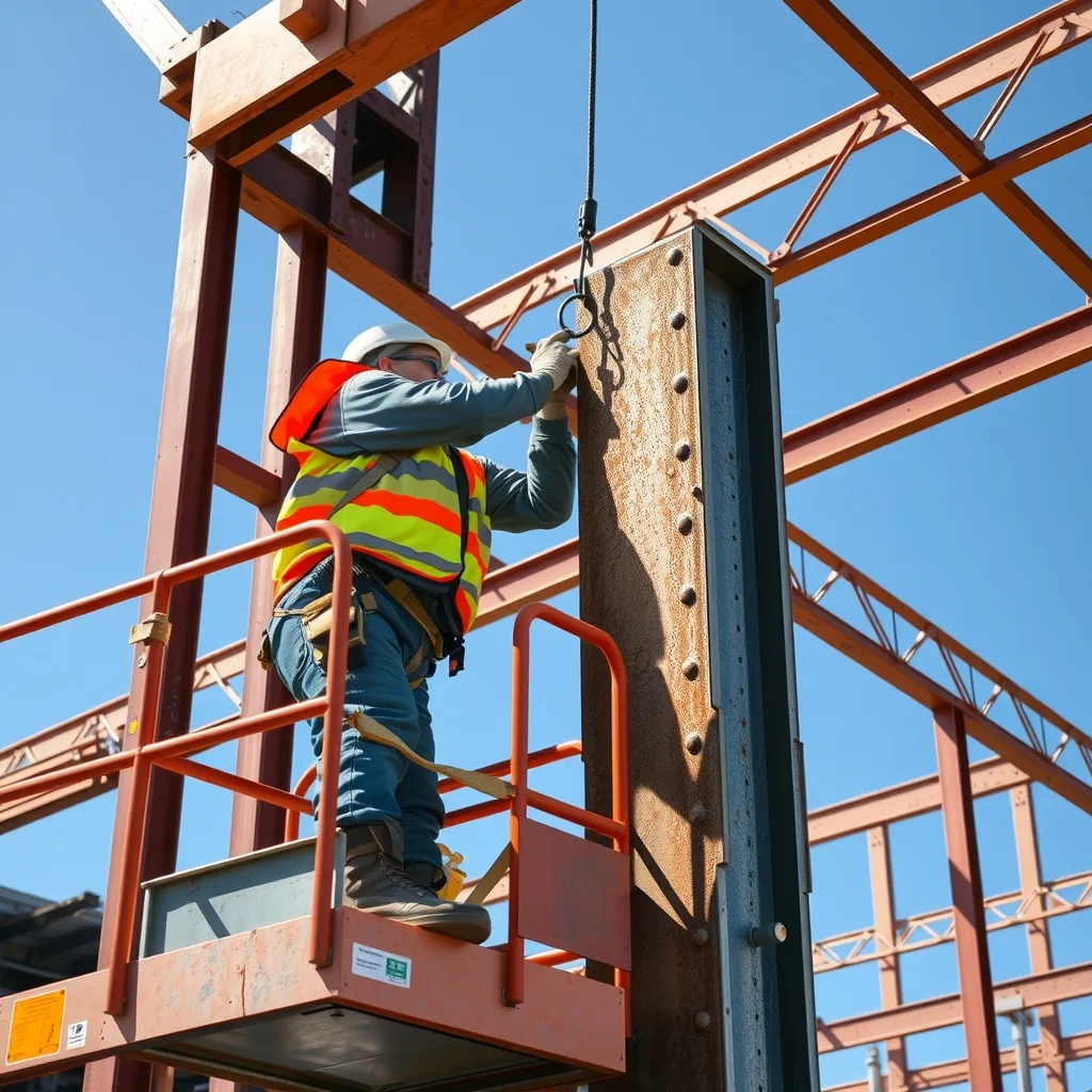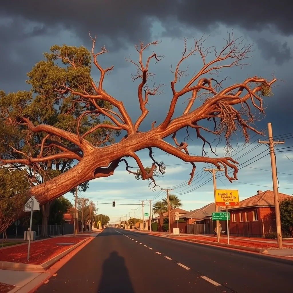

Tradies working outdoors across southern Australia face a rough weekend as a cold front sweeps the country, bringing damaging winds, heavy rain and flood watches to multiple states.
The Bureau of Meteorology has issued severe weather warnings for WA’s southern coastline on Saturday, with SA, Victoria and NSW in the system’s path from Sunday, according to Guardian Australia. Rottnest Island recorded gusts of 96km/h early Saturday morning.
Bureau senior meteorologist Ilana Cherny said alpine areas can expect gusts exceeding 100km/h, with widespread falls of 20mm to 40mm forecast across southern Australia. Parts of the south-east could see 50mm to 80mm. “With so much rainfall on the way, we are looking at some river level rises to develop later this weekend and into the new week,” Cherny said.
A flood watch covers river catchments across Victoria and NSW, including the Snowy, Yarra, Goulburn, Upper Murray and Ovens rivers. Creek and river rises and localised flooding are possible from Sunday into Monday.
For outdoor crews, the message is straightforward: check site conditions before starting work, secure loose materials and plant, and confirm your state’s SafeWork guidelines on working in severe weather. A job paused is better than one stopped by an incident. The Bureau of Meteorology will update warnings as the system moves through.
Frequently asked questions
Which rivers are under flood watch this weekend?
The flood watch covers catchments in Victoria and NSW including the Snowy, Yarra, Goulburn, Upper Murray and Ovens rivers. Creek and river rises are possible from Sunday into Monday.
How strong will the wind gusts get?
Alpine areas can expect gusts exceeding 100km/h. Rottnest Island in WA already recorded 96km/h gusts early Saturday morning.
Where can I find the latest warnings?
The Bureau of Meteorology is updating warnings as the system moves through. Check bom.gov.au for the most current information.
Sourced from Guardian Australia, Bureau of Meteorology. Original article.